Satellite Images
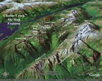
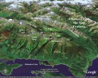

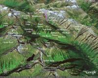
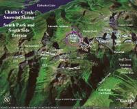

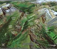
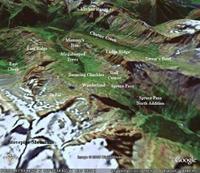
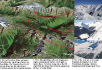 We have used the "Google Earth" program to generate a number of interesting 3D images of the Chatter Creek Cat Skiing tenure. Some of these are collected here, in no particular order. Click on any image to enlarge it. The compass rose in the lower left hand corner shows the direction of view. The approximate elevation of the viewer's eye is shown at the lower tight hand corner. See also, Terrain North of Vertebrae Glacier. Back to Index

0 Comments:
Post a Comment
<< Home